
Anúncios
Imagine exploring the entire planet from the comfort of your couch. Satellite apps now make it possible to view cities, landscapes, and landmarks from breathtaking aerial perspectives.


Technology has transformed how we experience geography. What once required expensive equipment or airplane tickets is now available through sophisticated satellite applications on your smartphone.
Anúncios
These apps combine satellite imagery, aerial photography, and 3D terrain data to create immersive virtual experiences of anywhere on Earth.
Whether you’re planning a vacation, studying geography, exploring your hometown from a new angle, or simply satisfying your curiosity about distant places, satellite apps offer an unprecedented window into our world.
Anúncios
Let’s explore how these remarkable tools work and what makes them essential for modern explorers.
🛰️ How Satellite Apps Bring the World to Your Screen
Satellite applications leverage data from multiple sources to create their comprehensive views. These include government satellites, commercial imaging services, and aerial photography from planes and drones. The information is processed, stitched together, and regularly updated to provide the most accurate representation possible.
The technology behind these apps is remarkably sophisticated. Images captured from space are combined with street-level photography, creating a seamless experience as you zoom from orbit-level views down to individual streets. Advanced algorithms correct for atmospheric distortion, cloud cover, and varying light conditions to produce clear, usable imagery.
Most modern satellite apps also incorporate 3D modeling technology. Buildings, mountains, and terrain features are rendered in three dimensions, allowing you to tilt and rotate your view for a more realistic perspective. This feature is particularly impressive in major cities where detailed architectural models bring skylines to life.
🌆 Exploring Urban Landscapes from Above
Cities take on entirely different characters when viewed from the sky. The organized grid patterns of American cities contrast sharply with the organic, winding streets of ancient European capitals. Satellite apps let you appreciate these urban planning differences in ways that ground-level exploration never could.
You can trace the evolution of cities by examining their layouts. Older city centers typically feature irregular patterns that developed organically over centuries, while newer districts show planned development with systematic street arrangements. Parks, rivers, and geographical features that shaped urban growth become immediately apparent from aerial views.
Major landmarks gain new context when seen from above. The Eiffel Tower’s position within Paris’s radial street system, Central Park’s rectangular oasis amid Manhattan’s urban density, or the Vatican’s circular colonnade within Rome all tell visual stories that ground-level photos cannot capture.
Discovering Hidden Urban Features
Satellite views reveal surprising urban details invisible from the street. Rooftop gardens, architectural patterns, building shadows that indicate time-specific conditions, and the true scale of large complexes all become apparent. Many users discover that buildings they pass daily have distinctive rooftop features they never knew existed.
Industrial areas, ports, and transportation networks also make more sense from above. The logic behind highway interchanges, the organization of shipping yards, and the layout of airports all become clearer when viewed in their entirety rather than experienced piecemeal from ground level.
🏔️ Natural Wonders Through a Satellite Lens
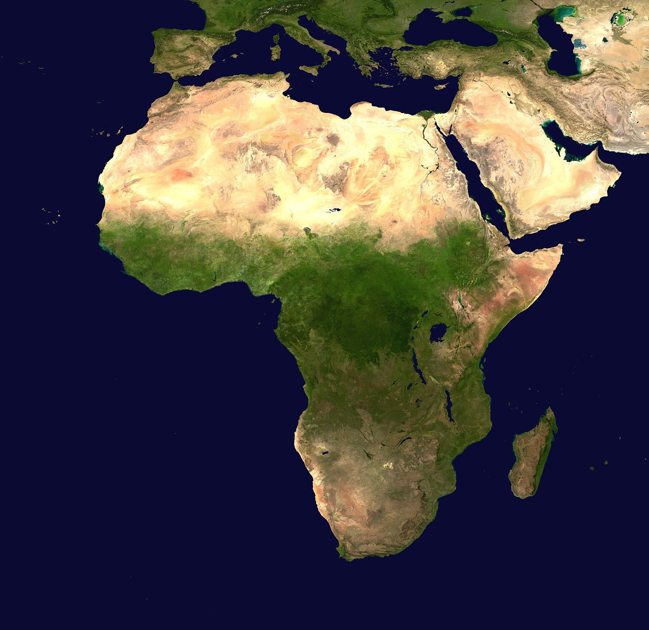
While cities are fascinating, natural landscapes truly showcase the power of satellite imagery. Mountain ranges, coastlines, deserts, and forests display patterns and colors that create stunning visual compositions. These views help us understand geological processes, ecosystems, and the sheer diversity of Earth’s environments.
The Grand Canyon’s vast scale becomes comprehensible when viewed from space, with its branching tributaries resembling tree roots spreading across the landscape. River deltas show intricate patterns where waterways split and merge before reaching the ocean. Volcanic craters, coral reefs, and ice formations all reveal their structure through aerial perspectives.
Seasonal changes are particularly striking in satellite imagery. Forests transition from green to autumn colors. Snow cover advances and retreats. Desert blooms temporarily transform barren landscapes into colorful carpets. Some apps provide historical imagery that lets you compare the same location across different times of year or even different years.
📚 Educational Applications That Transform Learning
Satellite apps have become invaluable educational tools. Geography students can explore terrain features, climate zones, and political boundaries with unprecedented clarity. History lessons come alive when students can view archaeological sites, battlefields, and historical trade routes from above.
Environmental science education benefits enormously from satellite imagery. Deforestation, urban sprawl, glacier retreat, and coastal erosion become visible, concrete concepts rather than abstract statistics. Students can compare images from different decades to witness environmental change firsthand.
Teachers use these apps to make lessons interactive and engaging. Instead of looking at static maps in textbooks, students navigate real locations, zoom to different scales, and explore areas relevant to their studies. This hands-on approach improves retention and sparks curiosity about the world.
Virtual Field Trips Without Leaving the Classroom
Budget constraints and logistical challenges often prevent schools from organizing field trips. Satellite apps provide virtual alternatives that, while not replacing physical travel, offer valuable supplementary experiences. Classes can “visit” the Amazon rainforest, the Sahara Desert, or the Great Barrier Reef in minutes.
These virtual expeditions can be surprisingly immersive, especially when combined with street-level imagery for populated areas. Students can explore ancient ruins, famous museums (some apps include interior tours), and natural reserves that few will ever visit in person.
🗺️ Planning Trips and Adventures
Travelers have adopted satellite apps as essential planning tools. Viewing your destination from above helps you understand neighborhood layouts, proximity of attractions, and geographical context. You can preview hiking trails, beach access points, and scenic viewpoints before arrival.
The apps help you make informed accommodation decisions. Is that hotel really near the beach? How far is it from the historic center? What’s the neighborhood actually like? Satellite imagery answers these questions more honestly than promotional photos.
Outdoor enthusiasts use these tools for route planning. Hikers scout trails, identify landmarks, and assess terrain difficulty. Cyclists plan routes by examining road conditions and elevation changes. Photographers scout locations for optimal angles and lighting conditions.
🏡 Real Estate and Property Exploration
The real estate industry has embraced satellite technology for property marketing and evaluation. Potential buyers can assess properties and their surroundings before scheduling viewings. Lot sizes, neighboring properties, proximity to amenities, and environmental factors all become apparent from aerial views.
Investors use satellite imagery to evaluate development opportunities. They can identify underutilized land, assess neighborhood trends, and analyze competition. Urban planners similarly rely on these tools to study growth patterns and infrastructure needs.
Homeowners find practical uses too. Planning landscaping projects, understanding drainage patterns, measuring yard dimensions, and designing additions all benefit from accurate aerial views of your property.
🔍 Advanced Features That Enhance Exploration
Modern satellite apps offer features far beyond simple viewing. Time-lapse functions show how locations have changed over decades. Measurement tools let you calculate distances and areas. Layer options display borders, place names, roads, and terrain features that can be toggled on or off.
Some apps include guided tours created by experts, taking you through historical sites, natural wonders, or cultural landmarks with informative narration. These curated experiences combine entertainment with education, perfect for casual exploration sessions.
Search functions make finding specific locations effortless. Type an address, landmark name, or even just coordinates, and the app navigates there instantly. Saved locations let you build personal collections of favorite places or create custom tours.
Integration with Other Technologies
Satellite apps increasingly connect with other services and devices. Some offer augmented reality features that overlay information onto real-world views when you point your phone’s camera at locations. Others integrate with mapping services for navigation or social media for sharing discoveries.
Weather overlays show current conditions, cloud cover, and precipitation patterns. Historical weather data helps users understand climate patterns in different regions. These integrations transform simple viewing apps into comprehensive geographical information systems.
🌐 Understanding Global Issues Through Satellite Eyes
Satellite imagery has become crucial for understanding global challenges. Climate change impacts—shrinking glaciers, rising sea levels, expanding deserts—become undeniable when viewed from space. Conservation organizations use this data to monitor protected areas and detect illegal activities like logging or poaching.
Urban planners and policymakers analyze satellite data to address infrastructure needs, traffic patterns, and development pressures. Disaster response teams use real-time satellite imagery to assess damage after earthquakes, floods, or fires, coordinating relief efforts more effectively.
Individuals gain perspective on humanity’s environmental footprint. Seeing sprawling cities, vast agricultural operations, and resource extraction sites from above contextualizes our impact on the planet in ways that ground-level experience cannot convey.
📱 Getting Started with Satellite Exploration
Beginning your satellite exploration journey is remarkably simple. Most apps are free to download with optional premium features. Installation takes minutes, and intuitive interfaces make navigation easy even for first-time users. Start by searching for familiar locations—your home, workplace, or favorite vacation spots.
Experiment with different viewing modes. Switch between standard satellite view and terrain mode to understand elevation. Try 3D views of cities with tall buildings. Use the time slider to see how locations have changed. Each feature reveals different aspects of the geography.
As you become comfortable with basic navigation, explore advanced features. Measure distances for future hikes. Create custom maps marking points of interest. Share interesting discoveries with friends. The more you explore, the more uses you’ll discover.
🌟 Transforming How We See Our World
Satellite apps represent more than technological achievement—they fundamentally change our relationship with geography. They democratize access to perspectives once reserved for astronauts and pilots. They foster appreciation for our planet’s beauty and fragility. They make the world simultaneously larger and more accessible.
These tools spark curiosity and encourage exploration, both virtual and physical. Users often report that satellite viewing inspired them to visit places they discovered online or to research topics they encountered during digital explorations. This connection between virtual and physical experience enriches both.
The technology continues evolving. Image resolution improves, update frequencies increase, and new features constantly emerge. Future developments promise even more immersive experiences, potentially incorporating live video feeds, enhanced 3D modeling, and deeper integration with educational content.
🚀 The Future of Satellite-Based Exploration
As satellite technology advances, these apps will become even more powerful. Higher resolution imagery will reveal smaller details. More frequent updates will provide near-real-time views. Artificial intelligence will help identify features, suggest points of interest, and personalize exploration experiences.
Virtual reality integration looms on the horizon, promising truly immersive flyovers and walks through distant locations. Augmented reality features will overlay historical imagery onto current views, showing how places looked decades or centuries ago. Social features may let users explore together in real-time.
The boundary between satellite apps and other geographical tools will continue blurring. Integration with navigation, travel booking, educational platforms, and social media will create comprehensive geographical ecosystems where viewing, planning, learning, and sharing happen seamlessly.
✨ Your Window to the World Awaits
Satellite apps have transformed smartphones into portals for planetary exploration. They satisfy curiosity, support education, enable planning, and inspire appreciation for our remarkable world. Whether you’re a student, traveler, educator, professional, or simply curious, these tools offer endless opportunities for discovery.
The barriers to exploration have never been lower. With a few taps, you can stand virtually atop Mount Everest, fly over the Amazon, explore Tokyo’s streets, or revisit childhood homes from unique perspectives. This technology brings the entirety of Earth within reach, fostering global understanding and environmental awareness.
Download a satellite app today and begin your journey of discovery. Explore familiar places from new angles. Venture to distant lands you’ve only read about. Share your discoveries with friends and family. The world is waiting to be seen from above, and your exploration can start right now.